2006
SO8540 : Behind the Flood Barrier, Upton
taken 17 years ago, near to Upton Upon Severn, Worcestershire, England
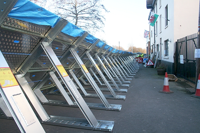
Behind the Flood Barrier, Upton
Showing the structure of the newly erected temporary barrier. The metal support is covered with a plastic sheet held down with the weight of chains.
 Map © Crown Copyright")
TIP: Click the map for more Large scale mapping
- Grid Square
- SO8540, 1237 images (more nearby 🔍)
- Photographer
- Bob Embleton (more nearby)
- Date Taken
- Saturday, 9 December, 2006 (more nearby)
- Submitted
- Sunday, 10 December, 2006
- Subject Location
-
OSGB36:
 SO 852 407 [100m precision]
WGS84: 52:3.8684N 2:13.0381W - Camera Location
-
OSGB36: SO 852 407
- View Direction
- Southeast (about 135 degrees)